Point Clouds
High-density 3D point data captured directly from LiDAR and photogrammetry, ready for import into your point cloud or CAD software.

Every capture is processed into the deliverable format your workflow needs — point clouds, terrain and mesh models, GIS/CAD and vector data, or survey-grade tabular data — ready to drop straight into your existing tools.
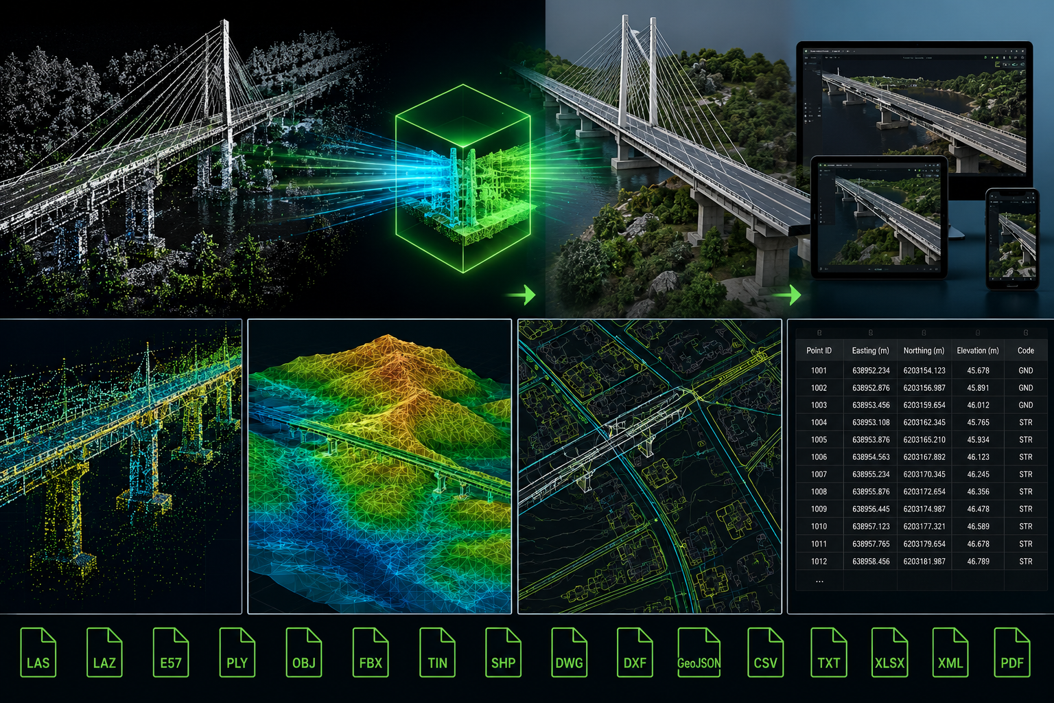
One capture, processed into whichever formats your teams already work with.
High-density 3D point data captured directly from LiDAR and photogrammetry, ready for import into your point cloud or CAD software.
Continuous surface and mesh models generated from processed capture data, suited to design, planning and volumetric analysis.
Vector features and CAD-ready drawings exported directly into your existing GIS and design environments.
Survey-grade coordinate and tabular datasets, formatted for direct use in your reporting and compliance workflows.
A single capture can be processed into multiple deliverable formats, as needed for different teams.
However you need it processed, every deliverable is exported in the format your team already works with.
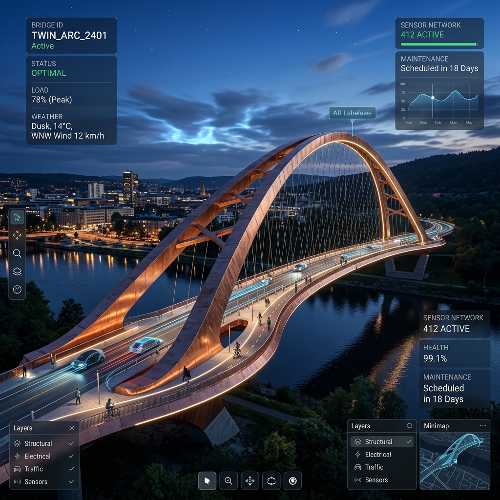
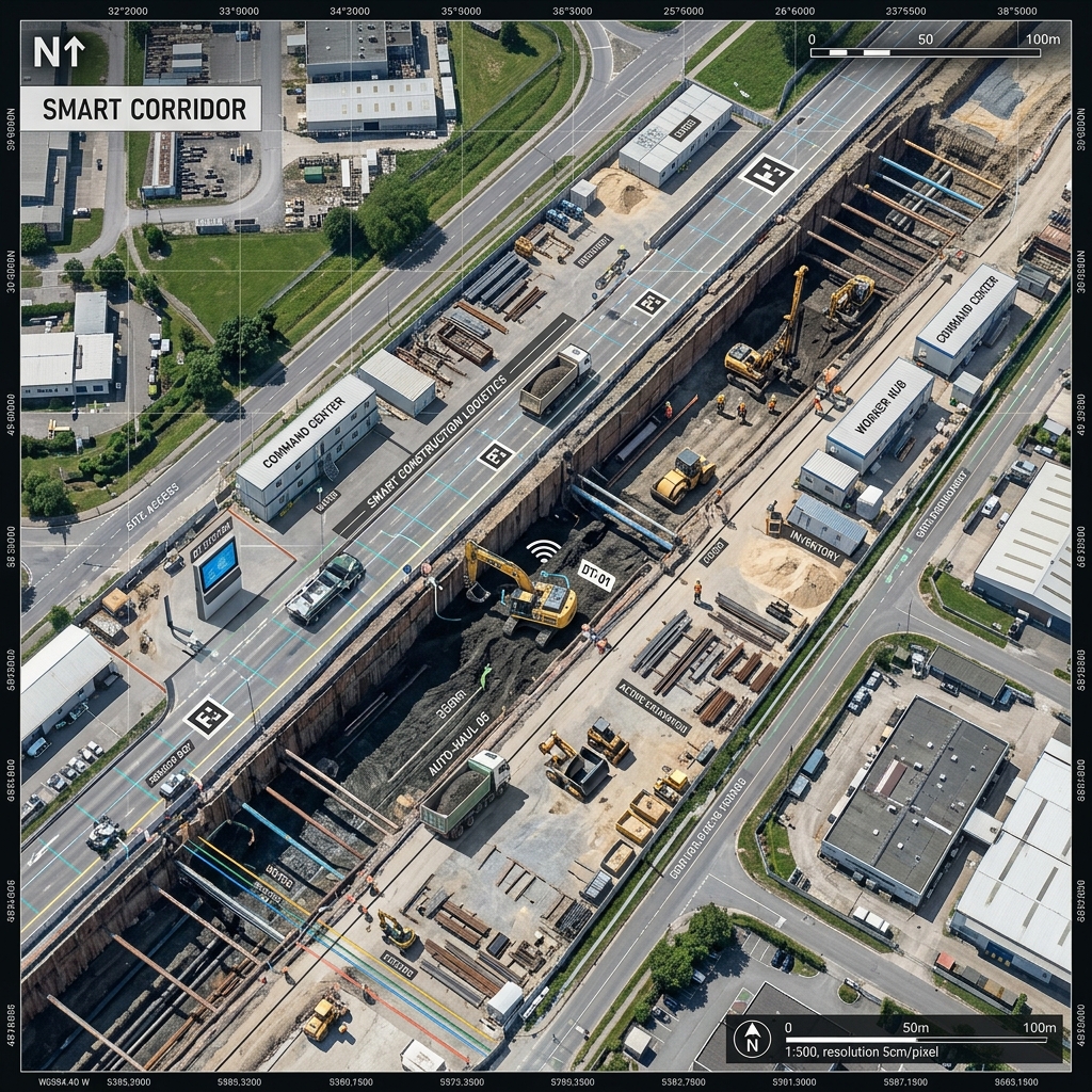
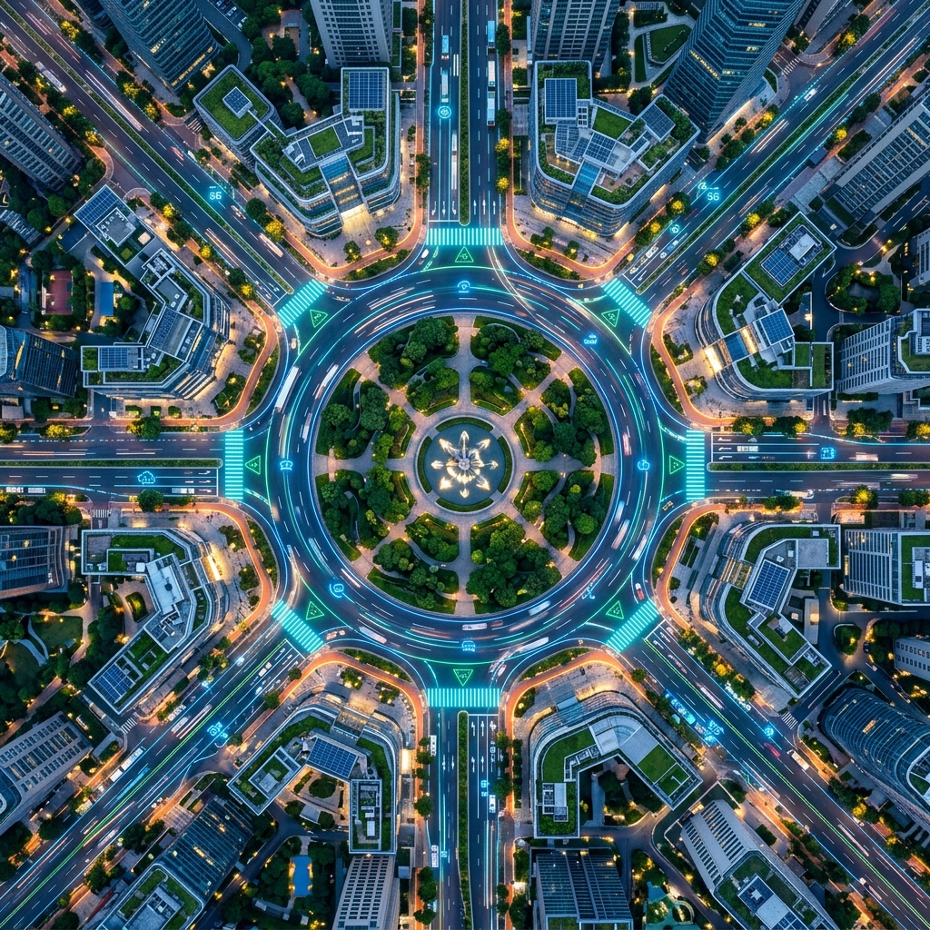
A closer look at how capture translates into exported deliverables on real projects.
Common questions about how this step works.
Point clouds, terrain and mesh models, GIS/CAD/vector data, and survey/tabular data — whichever format your project and downstream tools need.
Yes — deliverables are exported in industry-standard formats compatible with common GIS, CAD and point-cloud software.
Deliverables are processed from survey-grade capture data, so the accuracy achieved during capture carries through into every exported format.
Yes — a single capture can be processed into multiple deliverable formats, so different teams can each get the format they need.
Exported deliverables are uploaded to Sherpa Spatial's partnered visualisation platform, where your team can visualise, analyse, and collaborate on the data.
Start with a free account, or talk to us about the deliverable formats your project needs.