
Everything Sherpa Spatial Delivers
One connected workflow, from field capture to operational decision-making. Explore how each step turns raw reality-capture data into a deliverable your team can act on.
Capture & Process Data
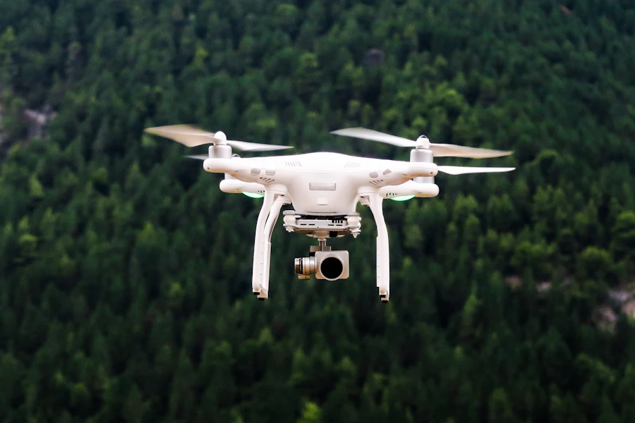
We capture the physical world with aerial LiDAR, photogrammetry, hand-held scanning and bathymetric survey — using industry-leading capture platforms matched to your site, from active construction corridors to hard-to-reach infrastructure.
- Aerial LiDAR & Photogrammetry
- Hand-Held Scanning
- Bathymetric / Hydrographic
- Industry-leading capture platforms

Export Deliverables
Every capture is processed into the deliverable format your workflow needs — point clouds, terrain and mesh models, GIS/CAD and vector data, or survey-grade tabular data — ready to drop straight into your existing tools.
- Point Clouds
- Terrain & Mesh Models
- GIS / CAD / Vector Data
- Survey & Tabular Data
Upload to Visualisation Platform
Datasets are uploaded through a secure browser workspace with dataset management and version control, so every capture is organised in one centralised spatial repository instead of scattered across drives.
- Secure Browser Upload
- Workspace & Dataset Management
- Version Control
- Centralized Spatial Repository


Visualise & Analyse
Explore every capture in 3D — point clouds, terrain and elevation models, GIS and CAD overlays — with measurement and change-detection tools that turn raw data into answers your teams can act on.
- 3D Point Cloud Visualization
- Terrain & Elevation Analysis
- GIS & CAD Overlay
- Measurement & Change Detection
Collaborate & Deliver
Share the same verified spatial record with internal teams, field crews, external stakeholders and regulators — so reports, reviews and approvals move faster across every party involved.
- Internal & Field Teams
- External Stakeholders & Regulators
- Multi-Agency Collaboration
- Reports & Faster Decisions

Ready to see the full workflow in action?
Start with a free account, or talk to us about which step fits your next project.