Internal & Field Teams
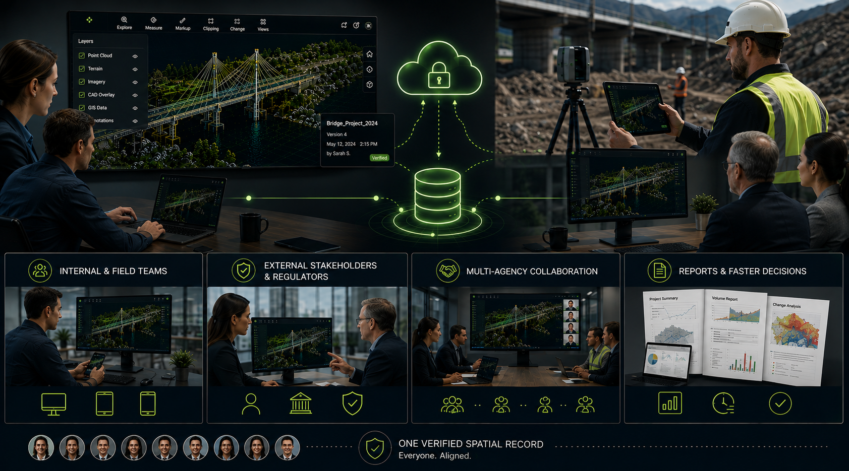
Keep internal and field teams aligned on the same up-to-date spatial record, wherever they're working.

Share the same verified spatial record with internal teams, field crews, external stakeholders and regulators — so reports, reviews and approvals move faster across every party involved.
The same verified data, shared with everyone who needs to see it.
Keep internal and field teams aligned on the same up-to-date spatial record, wherever they're working.
Share verified data directly with external stakeholders and regulators, reducing back-and-forth on evidence and approvals.
Coordinate across multiple agencies and delivery partners from a single shared spatial source of truth.
Generate reports directly from your spatial data, so decisions move faster across every stakeholder.
Every stakeholder works from the same verified spatial record — no more reconciling different versions.
As sites change, projects loop back to a fresh capture — keeping every stakeholder working from current data.
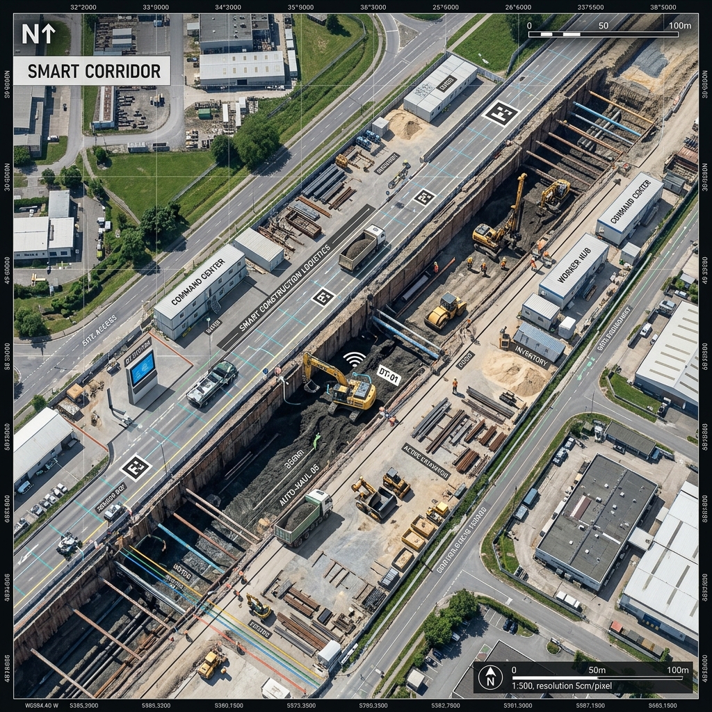
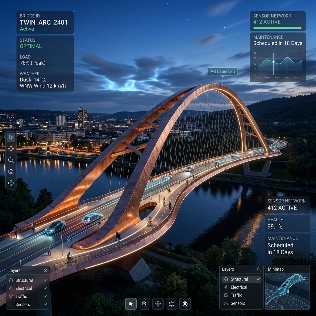
See the Full PipelineA closer look at the kind of captures that get shared and reported on.

Common questions about how this step works.
Internal and field teams, external stakeholders and regulators, and delivery partners across multi-agency projects — all from the same verified spatial record.
Yes — reports are generated directly from your spatial data, so decisions can move faster across every stakeholder.
Reports generated from the platform are designed to sit alongside your existing reporting tools, giving every stakeholder access to the same verified spatial record.
It's the final step for a given capture, though most projects loop back to Capture & Process Data as sites change, keeping every stakeholder working from current data.
Get in touch and we can talk through the reporting format your project needs.
Start with a free account, or talk to us about who needs access on your next project.