Aerial LiDAR & Photogrammetry
Drone-mounted LiDAR and photogrammetry capture large areas and complex structures with survey-grade accuracy — suited to infrastructure corridors, major sites, and hard-to-access assets.

Collect data using industry-leading capture platforms, then process it into high-quality deliverables using trusted software — the foundation every Sherpa Spatial project is built on.
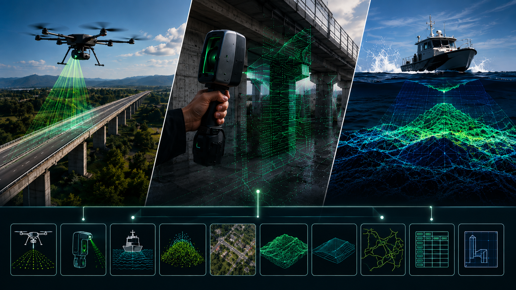
Every project starts with the right capture method for the environment — on the ground, in the air, or on the water.
Drone-mounted LiDAR and photogrammetry capture large areas and complex structures with survey-grade accuracy — suited to infrastructure corridors, major sites, and hard-to-access assets.
Mobile, hand-held 3D scanning documents in-progress work and tight or hard-to-reach areas in minutes, without specialist equipment on site.
Underwater and waterway capture for ports, channels, and marine infrastructure — extending precision mapping below the waterline.
Output may also include derived contours, generated directly from your processed capture data.
Once processed, your capture is exported into the formats your team already works with.
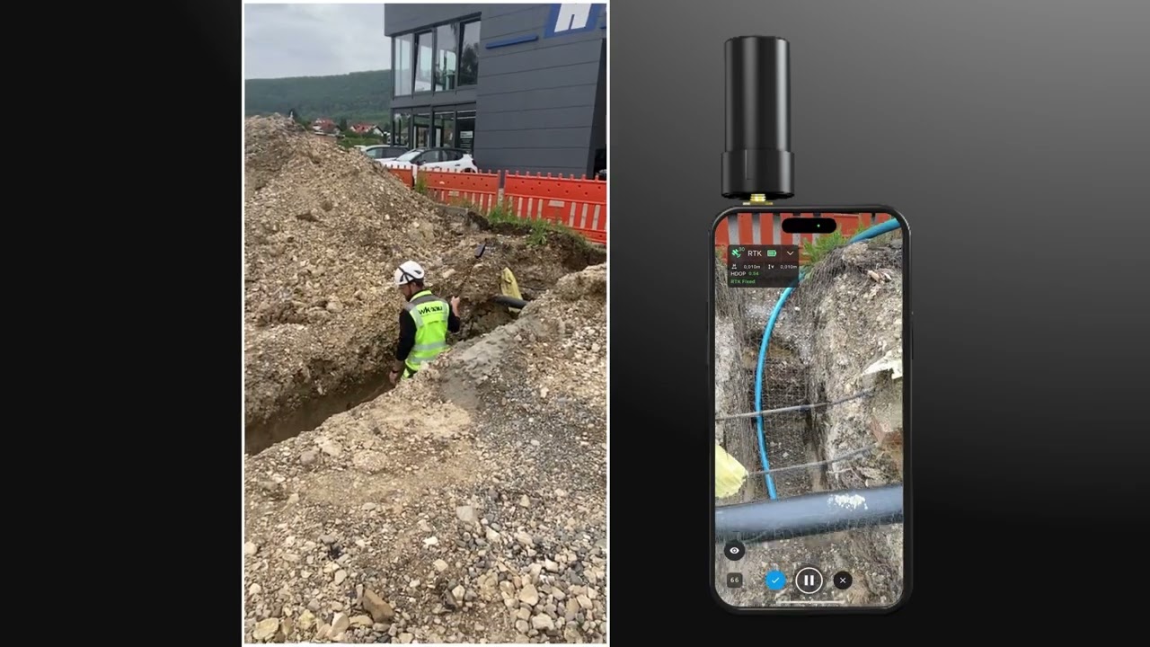
A closer look at how capture & processing plays out on real projects.
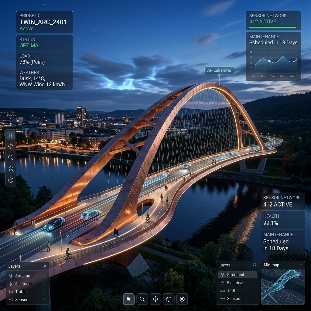
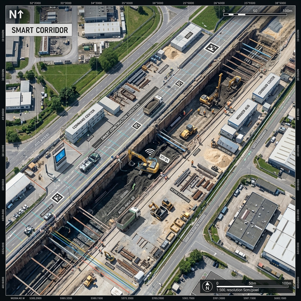
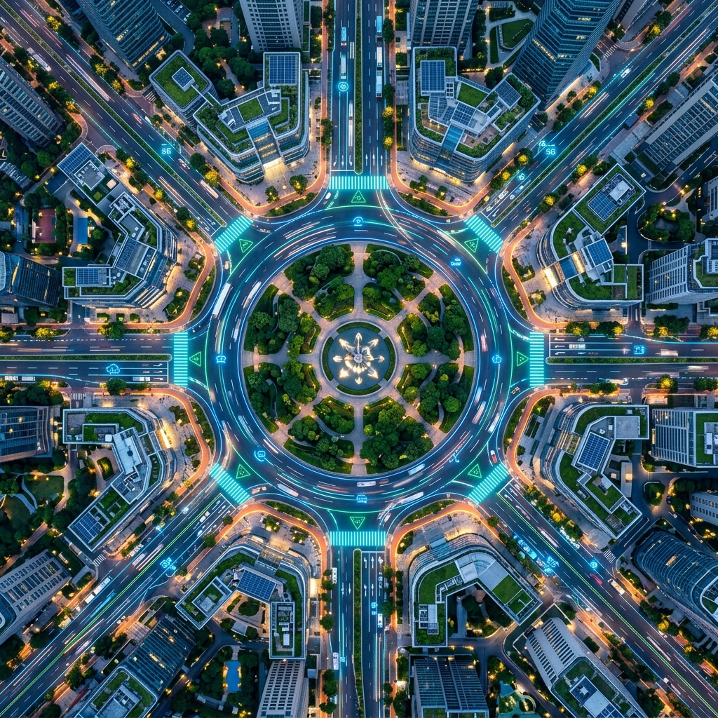
Common questions about how this step works.
Three core methods: aerial LiDAR & photogrammetry for large areas and complex structures, hand-held scanning for fast in-progress documentation, and bathymetric/hydrographic capture for underwater and waterway assets.
Captured data is processed using trusted software into high-quality deliverables — including point clouds, imagery/orthos, terrain and mesh models, GIS/vector data, survey/tabular data, and CAD drawings.
Yes — bathymetric and hydrographic capture extends precision mapping below the waterline, for ports, channels, and marine infrastructure.
It depends on site size, method and accuracy required. Hand-held scanning can document in-progress work in minutes, while larger aerial LiDAR or photogrammetry surveys are scoped to the project.
Processed deliverables are uploaded to Sherpa Spatial's partnered visualisation platform, where your team can visualise, analyse, and collaborate on the data.
Start with a free account, or talk to us about aerial, hand-held, or bathymetric capture for your project.