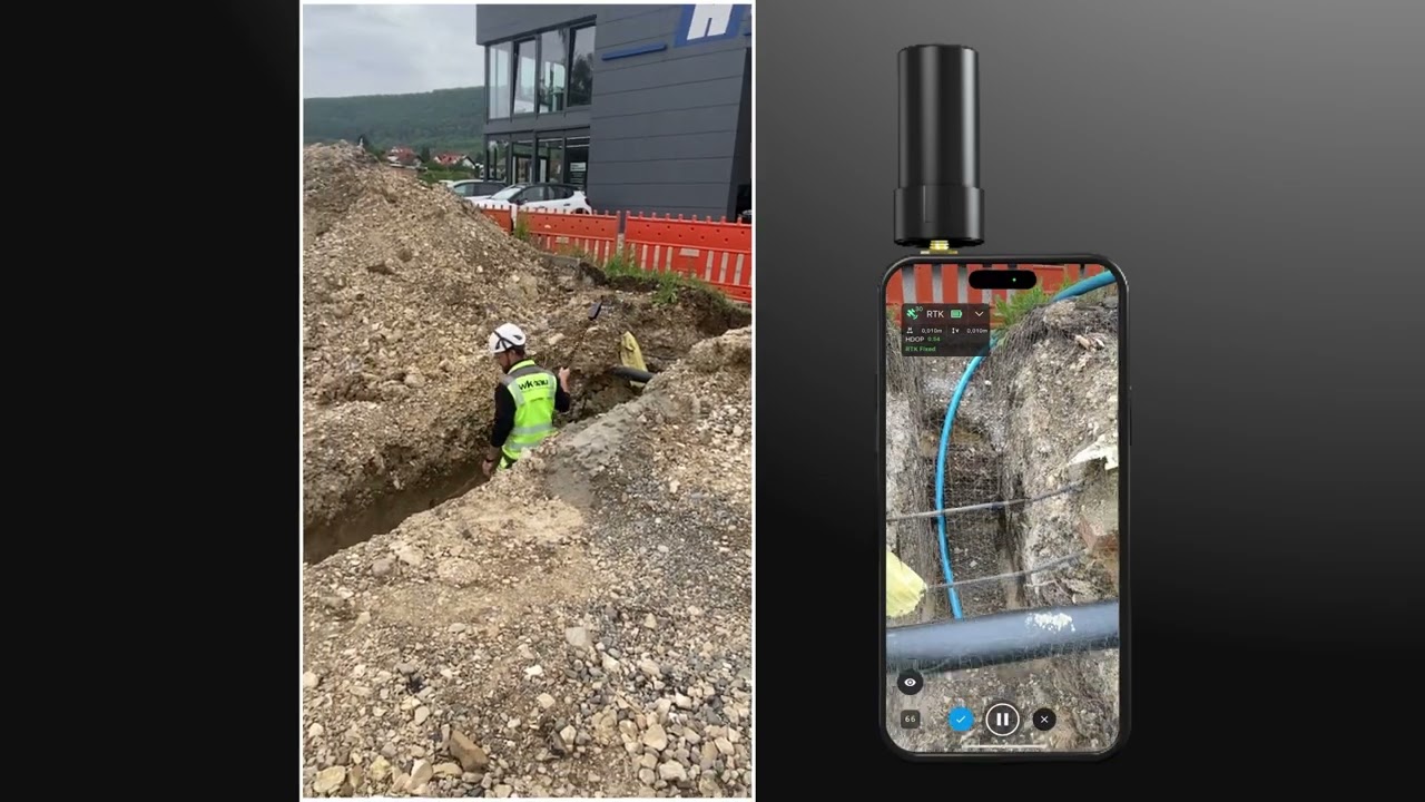
Loading Digital Twin Environment...
Synchronizing Real-Time Data...
Mapping Spatial Coordinates...
AI Network Connected
Futuristic City digital-twin background
AI
AI

From Field Capture to Operational Decision Making


Spatial Intelligence for the Modern World

Transform complex spatial data into actionable insights with precision mapping. Discover the hidden geography of your business operations in real-time.

Trusted by Innovative Teams
HexaCorp
TerraGrid
MapVision
GeoNexus
Urbanlytics
Explore iTwin Capture

Why Sherpa Spatial?

We connect field operations, infrastructure data and operational intelligence—helping you improve project delivery and asset performance across the full infrastructure lifecycle.

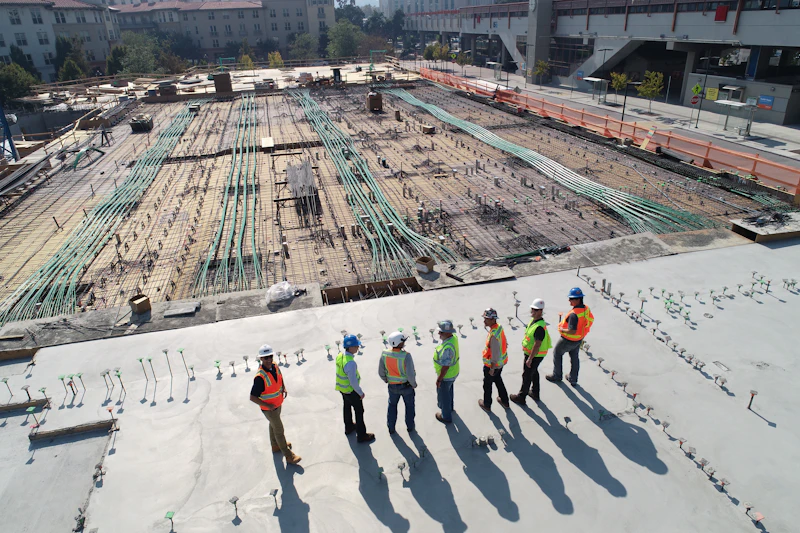
Construction site aerial view

End-to-End Capability

From capture through operational enablement—we support every stage of your spatial workflow.

Modern infrastructure building

Infrastructure Focused

Built specifically around infrastructure and asset environments, not generic mapping tools.

Transport infrastructure roundabout

Connected Digital Workflows

Not disconnected inspections or isolated deliverables—your data stays linked across teams.

Operational planning and analytics

Operationally Driven

Designed to improve visibility and decision-making when it matters on site.

Digital infrastructure technology

Future Ready Platform

Building toward Digital Infrastructure Intelligence with a platform that scales with you.

Who We Are

We help organisations plan, build, inspect and manage assets with confidence—through high-quality reality capture, survey-grade processing and modern visualisation.

Sherpa Spatial is a subsidiary of Air Inspect Australia, established in South-East Queensland in 2018. Air Inspect Australia has delivered 50+ projects across infrastructure, government, energy, and industrial sectors.

2018 Est. in South-East QLD
50+ Projects delivered

Measurable impact across your operations

Sherpa Spatial connects field capture, digital twins, and asset data so your teams can act on trusted intelligence—not outdated reports or disconnected deliverables.
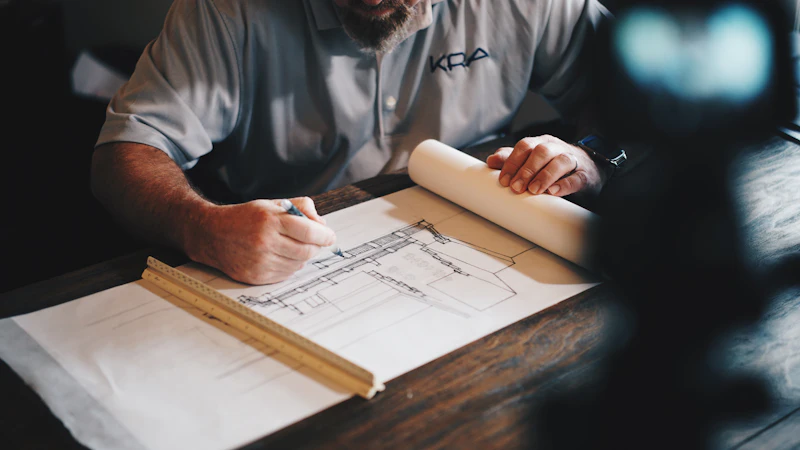
Infrastructure monitoring and site visibility

Operational visibility

A single, current view of assets and sites—so stakeholders align on what is happening now, not what was true last quarter.

Team collaboration and faster decisions

Faster, informed decisions

Real-time visual context helps teams intervene earlier, reduce ambiguity in the field, and keep projects moving.

Safe remote infrastructure inspection

Safer field operations

Remote inspections and condition monitoring limit unnecessary exposure while maintaining rigorous oversight of critical assets.

Compliance documentation and audit records

Audit-ready compliance

Structured inspection histories and defensible records support regulators, clients, and internal governance without manual reconstruction.

Construction efficiency and cost control

Lower lifecycle cost

Fewer surprises from rework, delays, and reactive maintenance—by catching issues when they are still inexpensive to fix.

Who We Help

Where connected digital workflows create measurable operational impact.

Project Teams

Deliver projects faster with accurate, real-time site intelligence.

  • Progress verification
  • Rework reduction
  • Visual reporting
  • Claims validation
  • Faster handover documentation

Asset Teams

Improve infrastructure reliability, safety and maintenance visibility.

  • Remote inspections
  • Condition intelligence
  • Defect monitoring
  • Digital asset records
  • Maintenance planning

Digital Teams

Create a trusted operational data environment.

  • Spatial data integration
  • Single source of truth
  • Audit-ready records
  • GIS and enterprise integration
  • Cross-system visibility

Built for infrastructure-heavy sectors

Sherpa Spatial supports teams where accuracy, safety, and asset lifecycle visibility are non-negotiable—from major projects to regulated public infrastructure.

Construction & major projects

Verified progress tracking, clash-ready models, and less rework across complex sites.

Infrastructure & transport

Authoritative digital baselines for roads, rail, ports, and linear assets.

Utilities & energy

Remote inspection and condition intelligence for networks and critical plant.

Industrial & logistics

Facility-wide visibility for yards, warehouses, and large operational estates.

Government & public sector

Centralised asset registers, compliance evidence, and transparent reporting.

Challenges We Solve

A closer look at two sectors where Sherpa Spatial delivers measurable impact.
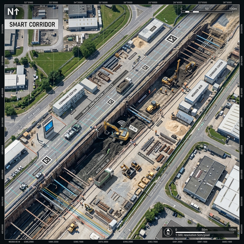
Construction & Major Projects

Challenges

  • Limited real-time visibility across active sites
  • Rework caused by late issue identification
  • Progress reporting disconnected from field reality
  • Claims and variations disputed due to lack of evidence
Construction corridor digital capture

Impacts Delivered

  • Verified site progress
  • Faster issue identification
  • Reduced rework exposure
  • Visual project intelligence for stakeholders

Industrial & Logistics

Challenges

  • Rapidly changing operational environments
  • Poor facility visibility
  • Manual asset tracking
  • Operational inefficiencies across large sites
Industrial facility digital capture

Impacts Delivered

  • Accurate operational baselines
  • Improved spatial awareness
  • Faster facility planning
  • Safer operational environments

Our Approach

A connected workflow from field capture to enterprise enablement—each stage feeds the next with trusted spatial data.

Capture & Process Data

  • Aerial LiDAR & Photogrammetry
  • Hand-Held Scanning
  • Bathymetric / Hydrographic
  • Industry-leading capture platforms

Export Deliverables

  • Point Clouds
  • Terrain & Mesh Models
  • GIS / CAD / Vector Data
  • Survey & Tabular Data

Upload to Visualisation Platform

  • Secure Browser Upload
  • Workspace & Dataset Management
  • Version Control
  • Centralized Spatial Repository

Visualise & Analyse

  • 3D Point Cloud Visualization
  • Terrain & Elevation Analysis
  • GIS & CAD Overlay
  • Measurement & Change Detection

Collaborate & Deliver

  • Internal & Field Teams
  • External Stakeholders & Regulators
  • Multi-Agency Collaboration
  • Reports & Faster Decisions

A Few Global Examples

Real capture, processing and visualisation outcomes from recent projects.
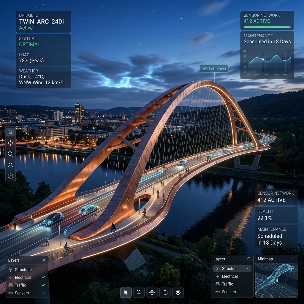
Bridge and structural digital twin capture
Bridge & Structural Capture
Warehouse and facility digital twin capture
Warehouse & Facility Digital Twin
High-rise building digital twin capture
High-Rise Building Capture
Colourised point cloud render
Colourised Point Cloud
Digital elevation model of terrain
Digital Elevation Model
Terrain contour mapping
Terrain Contours
Watershed assessment aerial imagery
Watershed Assessment
Field engineer documenting in-progress work in minutes
Field Engineer Is Documenting In-Progress Work In Minutes

The Output

High-precision drone, LiDAR, and photogrammetry solutions delivering accessible digital infrastructure intelligence.

Unlock the Power of Spatial Digital Twins

Join thousands of developers, GIS specialists, and enterprise architects building high-precision, real-time capture visualizations with Sherpa Spatial.

Open Standards Compliant Cloud-native GPU decimation 99.99% Core API SLA guaranteed